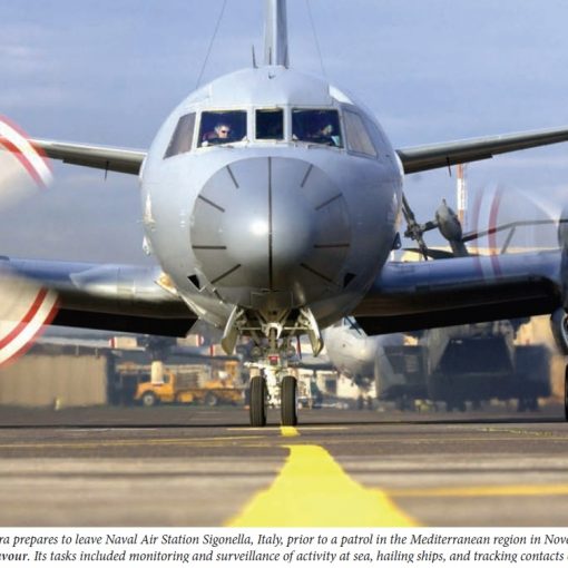
Re: David Pugliese’s article "Navy passes on shifting more ships to the Pacific" on 09 May, 2008. The balance of warships between East and West has been debated since the birth of the Royal Canadian Navy almost 100 years ago. Calls for changes in distribution are invariably political while the answers are usually strategic. It is not rocket science, the facts and numbers speak for themselves. First, where are the places the Canadian government may wish to influence events or make a political statement by sending a warship? Second, how far away are those places? Third, do the math and factor in the fuel - at today's fuel costs.
This simple table of approximate distances (in nautical miles - NM) and transit times (in days at a theoretical economical speed of 15 knots - not allowing for slower transit speeds in Arctic and other restricted waters) speaks for itself.
Logic should show that Canada needs sufficient warships on each coast to meet national security and political requirements in two oceans plus what is needed for the Arctic based on the East Coast. It doesn't make economic sense to do everything from a single base or to try to use ships from one coast for tasks that are nearer to the other coast. Only when major operations such as the Korean War or Operation Apollo take place is it necessary to draw on ships from both coasts because the overall fleet isn't large enough to take any other approach. The ideal fleet mix would be an operational task group on each coast to provide the government with the strategic flexibility the future is likely to demand.
|
Destination |
From Halifax |
From Esquimalt |
|
Eastern Northwest Passage (Lancaster Sound) |
2,260 NM (6.5 days) |
4,155 NM (11.5 days) (Through NWP) |
|
Western Northwest Passage (Amundsen Gulf) |
3,045 NM (8.5 days) |
3,360 NM (9.5 days) via theAleutians and the Bering Strait |
|
Northern Caribbean and Haiti (Windward Passage) |
1,560 NM (4.5 days) |
5,350 NM (15 days) via Panama Canal |
|
Southern Caribbean - Panama Canal or Caracas |
2,280 NM (6.5 days) |
4,630 NM (13 days) |
|
Eastern Mediterranean - Lebanon |
4,690 NM (13 days) |
12,600 NM (35 days) or 9,530 NM (26 days) via Panama Canal |
|
Persian Gulf (Gulf of Oman) |
7,490 NM (21 days) |
9,800 NM (27 days) or 12,330 NM (34 days) via Panama Canal |
|
Malacca Strait and Southern South China Sea |
10,390 NM (29 days) or 13,800 NM (38.5 days) via Panama Canal |
6,900 NM (19 days) |
|
Taiwan and the Philippines (Lauzon Strait) |
11,090 NM (31 days) or 12,280 NM (34 days) via Panama Canal |
5,370 NM (15 days) |
|
North Korea (East China Sea) |
11,790 NM (33 days) or 11,600 NM (32 days) via Panama Canal |
4,780 NM (13.5 days) |